NEWS
Onboard FPGA Image Processing for Analytics-Ready Data
Spacemetric is collaborating with partners to further streamline high-precision onboard satellite image processing that prepares data for analytics and AI applications.
Bluestone Onboard Airborne
Spacemetric and ST Airborne are collaborating to provide common situational awareness onboard the aircraft and on the ground through virtual data access for maritime surveillance systems.
Collaboration with SAAB for onboard AI image processing
Spacemetric and PandionAI are collaborating with SAAB Dynamics to demonstrate miniature systems for image processing and AI onboard airborne platforms.
Imagery and AI analytics for Carmenta
Spacemetric is leading an Innovair project with Carmenta and PandionAI to add high-quality image handling and AI analytics to Carmenta’s visualisation tool for geospatial data.
Autonomous drone navigation with 3D processing
Spacemetric is investigating image-based methods to derive 3D information for drone navigation independent of GPS in forested landscapes.
Dating forest fellings with radar imagery and AI
Spacemetric is leading a pilot with Qamcom to improve the Swedish Forest Agency’s follow-up activities with the help of satellite radar imagery and AI.
Swedish Armed Forces renew maintenance of drone video systems
Spacemetric has received an order from the Swedish Armed Forces (SwAF) for another three-year period of support and maintenance for Keystone instances.
Near real-time satellite data delivery
Spacemetric is collaborating with Norwegian KSAT to provide a near real-time delivery of satellite data for time-critical applications.
Onboard processing of hyperspectral imagery
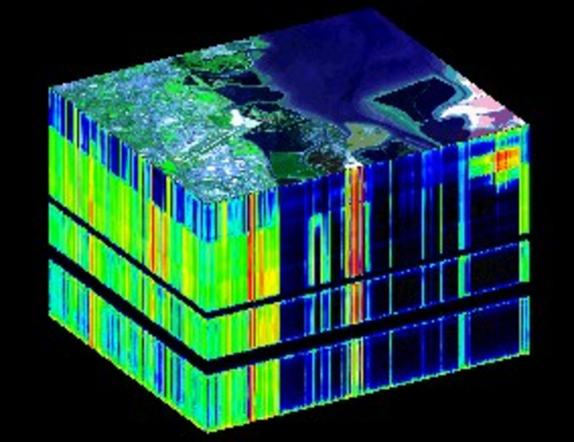
Spacemetric is collaborating with OHB Sweden to demonstrate a flatsat satellite prototype encompassing the full value chain, from simulating sensor data, onboard and distributed data processing, to selecting data for priority download.
New methods to correct band misalignment in satellite data
Spacemetric is developing new methods to mitigate “jitter” in satellite images caused by rapid attitude variations that causes misalignment between spectral bands.
Rapid access to onboard video for analytics
To support timely video analytics Spacemetric’s INNOVIDEO project will develop technology for review and access directly from the ground to specific portions of video data acquired onboard aircraft, UAVs, and satellites.
PEONEER satellite intelligence platform for EDA
PEONEER is a three-year European Defence Agency project carried out by a European consortium including Spacemetric and led by e-GEOS.
Metria using Keystone for satellite mosaic production
Metria is using a Keystone system to produce 2020 satellite image layers for Lantmäteriet, the Swedish national land survey, for the free SACCESS satellite image service.


